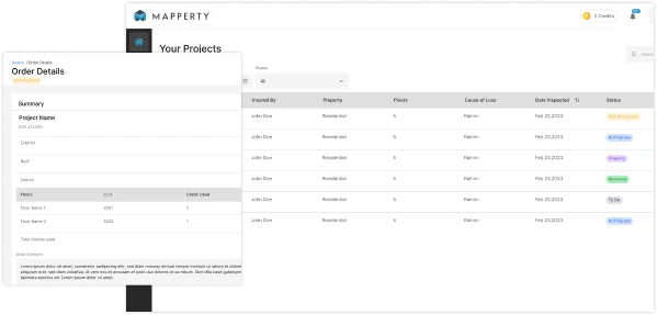


ESX Files Ready in 24 hours
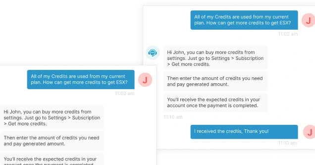
Add Inspection Data
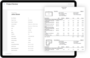
Comprehensive Information
Accurate Estimates
Streamlined Processing
User-Friendly Interface
Adjusters can easily create new projects by entering essential details such as project name, type of loss, and location.
Geo-Location Tagging
The ability to set geo-locations ensures precise documentation of the property being inspected.
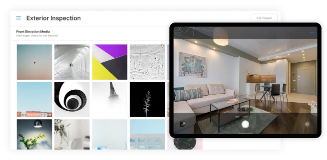
Multi-Elevation Evaluation
Inspectors assess all four elevations (front, left, right, rear) of the property, documenting damages with photos and annotations.
Damage Tagging
Each identified damage is recorded with the media file, ensuring thorough documentation.
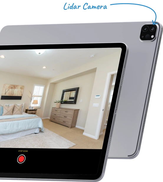
Interactive Floor Scanning
Utilizing an integrated scanning SDK, inspectors can create detailed 2D and 3D floor plans, allowing for a comprehensive evaluation of internal spaces.
Room Tagging and Damage Documentation
Each room can be tagged, and damages documented with multimedia attachments to provide clear evidence for claims processing.
Dedicated Roof Evaluation
Inspectors can conduct thorough assessments of the roof's condition, documenting any damages or wear.
Comprehensive Damage Records
Each roof damage record requires at least one media file and allows for additional notes or remarks to enhance clarity.
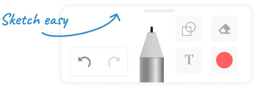
Sketch at your fingertips
Our platform offers seamless sketching capabilities, enabling adjusters to create precise floor plans and diagrams with ease, ensuring accurate documentation of property damages.